
Pueblo ZIP Code Coverage
Pueblo ZIP geography is best read as a current delivery clue with a date, not as a city or neighborhood map. These Pueblo entries collect official USPS and Pueblo County evidence for the area. Belmont, Midtown, Sunset, and the Pueblo main post office provide named station evidence. Other rows are kept cautious because a label grouping, county profile, assessor value, and address-level USPS result do not mean the same thing.
| ZIP Code | Areas Covered | Post Office | Notes |
|---|---|---|---|
| 81001 | Pueblo and Belmont mailing clue | Belmont | Verify exact address and city limits |
| 81002 | Pueblo label grouping or historical clue | USPS address lookup | Current assignment needs address testing |
| 81003 | Pueblo and Midtown mailing clue | Midtown | Not a neighborhood boundary |
| 81004 | Pueblo-area and Southern Colorado grouping | USPS address lookup | Check parcel jurisdiction |
| 81005 | Pueblo and Sunset mailing clue | Sunset | Do not infer an exact neighborhood |
| 81006 | Pueblo-area reporting or historical grouping | USPS address lookup | Use the current address result |
| 81007 | Pueblo West or adjacent mailing clue | USPS address lookup | Pueblo West is not the City of Pueblo |
| 81008 | Pueblo mailing area and main-office clue | Pueblo Main, 1022 Fortino Boulevard | Last line includes Pueblo CO 81008-2025 |
| 81009 | Historical or unresolved evidence | Not established in current sources | Use current USPS lookup or AIS |
| 81010 | Historical or unresolved evidence | Not established in current sources | Use current USPS lookup or AIS |
| 81011 | Historical or unresolved evidence | Not established in current sources | Use current USPS lookup or AIS |
| 81012 | Historical or unresolved evidence | Not established in current sources | Use current USPS lookup or AIS |
The official USPS Pueblo location record identifies the main office at 1022 Fortino Boulevard and the last line above. Belmont is listed at 1025 E US Highway 50 Bypass, Midtown at 1000 W 6th, Suite U, and Sunset at 3000 Wedgewood. The USPS AIS Viewer showed a July 27, 2026 ZIP-assignment release. Use the address-level check when a label list and a parcel or city record differ.
The USPS Pueblo location record gives the station and last-line evidence shown in this capture.
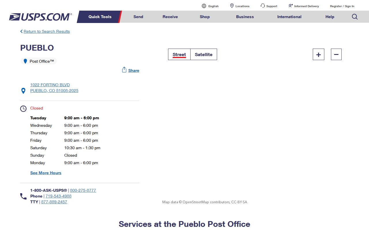
The post-office record supports a mailing check, but it does not prove that a person or company is at any address.
Pueblo ZIP Codes Need Dates
USPS labeling evidence has changed over time. The document effective July 1, 2026 groups Pueblo with 81002-81003 and 81007-81008, while 81004 appears in the Southern Colorado grouping. Historical labels in the research show 81002 with 81007, 81003 with 81008, and 81004-81006. Those groups are useful historical clues, not substitutes for a current delivery-point result. A ZIP code directory should preserve the printed ZIP, the modern lookup result, the source date, and the address tested.
The 81009-81012 rows stay marked historical or unresolved. A Colorado DMV ZIP chart from 2016 listed 81001-81012, but it is not a current USPS boundary source. No single official current city-by-ZIP list was exposed in the inspection. For a disputed Pueblo address, the current USPS lookup or AIS data controls, while old labels, city directories, Sanborn maps, and library files explain earlier geography.
USPS Pueblo ZIP Search Fields
The USPS ZIP Code Lookup provides three modes. Address mode is the strongest current test because it checks the street and unit. City and State mode gives a broad city list, while Cities by ZIP Code works in the other direction. The result is postal evidence only. USPS warns that a ZIP does not prove a person or company is at an address and recommends a unit number when several matches appear.
| USPS mode | Fields | Role | Use |
|---|---|---|---|
| ZIP by Address | Company; required Street Address; Apt/Suite/Other; City; State; ZIP | Address-level check | Enter the full delivery point and test the unit |
| ZIP by City and State | City and State | Broad mailing reference | Use Pueblo, Colorado as a starting comparison |
| Cities by ZIP Code | ZIP | Reverse postal lookup | Compare the returned last lines, not city limits |
| Result review | Returned ZIP, city, state and ZIP+4 when available | Record evidence | Save the retrieval date and source mode |
Run City and State first when the question is broad, then run Address mode with Street Address, City, State, and any apartment or suite. The ZIP+4 narrows delivery handling but does not turn a postal result into a resident record. USPS post-office staff are the in-person route for current delivery questions. The AIS Viewer is the data-quality route when a dated assignment needs a deeper check.
Assessor Location Fields in Pueblo
The Pueblo County Assessor advanced search does not act like a simple ZIP-wide resident directory. Its Current Owner and Location fields include owner name, street-number range, street-name starts-with, City, Subdivision, Neighborhood, and Neighborhood Group. Parcel Data adds parcel number, tax district, property use, zone, square footage, acreage, construction year, and sort choices. The live city list includes PUEBLO and PUEBLO WEST. Tax Search also exposes location-city values including 81007 and 81008, but those controls should be read as assessor data fields, not a universal postal filter.
The assessor quick search accepts ID, name, or location, and its GIS map can add parcel geometry. County GIS and the City of Pueblo GIS Portal supply separate map and layer routes. An owner, mailing address, situs, parcel, or tax field can narrow a Pueblo ZIP search, but none alone proves a current occupant. The assessor advanced controls are shown here.
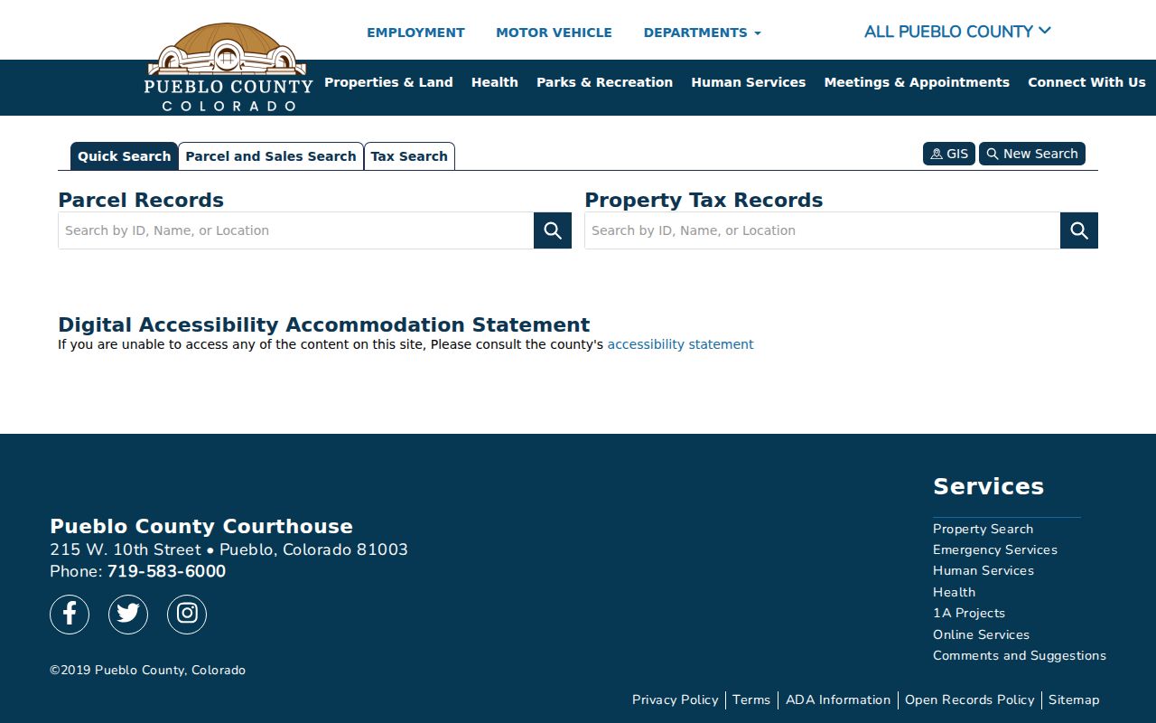
The Pueblo County Assessor advanced search shows why a parcel or city field must be kept separate from the USPS delivery result.
Find Pueblo Residents by ZIP
A ZIP can narrow a lawful records workflow, but no local roll returns every resident by postal code. Use the ZIP as one field and preserve the source role:
- Test the full address in USPS ZIP by Address and save the returned ZIP, ZIP+4, last line, and retrieval date.
- For a voter clue, use Colorado's first-name, last-name, ZIP, and mm/dd/yyyy birthday fields; try a prior ZIP when the official form suggests a move.
- Use the Assessor by name or location, and label the result owner, mailing, situs, parcel, or tax context rather than calling it a resident.
- Use Pueblo County demographic profiles and GIS for geography, then request a voter report or map layer from the responsible office when a specific retained record is needed.
- Once a ZIP narrows to an address, continue with the Pueblo street directory for the address-keyed record chain.
Pueblo County Elections accepts local information requests for name, physical or mailing address, birth year, phone, registration date, party, status, jurisdiction, precinct, and selected voting history. Reports, maps, mail, email, payment, and delivery options are described on the county form, with a possible 72-hour period after payment. The Colorado SOS data-request form is the statewide route. Confidential voters and some under-18 voters may not appear in the personal lookup.
Pueblo West and Postal Last Lines
The most important local geography trap is the difference between a postal last line and a governmental jurisdiction. Pueblo West appears in the assessor city list, while USPS may use Pueblo as a last line for an adjacent postal area. A ZIP can touch county land, city land, Pueblo West context, a precinct, and a parcel without sharing those edges. That is why a Pueblo ZIP code directory should never turn a mailing label into a city-limit claim.
For a records request, retain both the postal line and the jurisdiction shown by the parcel, GIS, Elections, Planning, or permit custodian. City and county addressing standards also use local baselines and alias roadway names. A historical directory address may need the City of Pueblo addressing standards before it can be compared with a current USPS result. When a request belongs to the wrong agency, the ZIP may have sent the search in the wrong direction.
County ZIP Profiles as Context
Pueblo County demographic-data profiles include 81001, 81003, 81004, 81005, 81006, 81007, 81008, and surrounding ZIPs. These profiles describe a reporting geography. They are useful for context, but they are not a list of people, a parcel layer, or a statement of City of Pueblo boundaries. Keep county profile evidence in a separate column from USPS address evidence and assessor property evidence.
County GIS, the County GIS Department, City of Pueblo GIS Portal, Planning, Regional Building, and Elections are the local access channels when a ZIP question is really about a map, precinct, parcel, permit, or jurisdiction. Online viewers may show different layers and dates. A map or report request can require a form, fee, payment, mail, email, or an office visit. Ask for the layer date and the field definition instead of joining polygons by name.
Historical ZIP Evidence in Pueblo
Older ZIP evidence belongs beside the record year. Historical USPS labels, city directories, Sanborn maps, city historic packets, and Rawlings or Historical Society files can show how an address was described at the time. The library's directory and newspaper holdings can preserve a printed last line or an address that predates modern ZIP use. A directory entry is a dated source, not a current postal assignment.
For an old Pueblo household, record the publication year, printed address, historical street name, postal line if shown, and modern USPS result as separate facts. Sanborn material adds structure and land-use context, while the City addressing standards can explain a renamed roadway. The historical route is in-person, catalog, microfilm, archive, or request based. It fills time gaps, not a current delivery lookup.
Verify a Pueblo ZIP Result
A reproducible ZIP check has five parts: the full address, the USPS mode used, the returned five-digit ZIP and ZIP+4 when shown, the retrieval date, and the governmental or parcel context from a separate source. If a result conflicts with a county profile, assessor city field, voter lookup, or old label, do not average the answers. Test the address again, check a unit number, consult current AIS evidence, and ask USPS, GIS, Planning, or Elections which field controls the question.
Postal caution. A USPS ZIP result confirms delivery geography. It does not prove a person or company is at the address, establish a neighborhood, or settle a city or county boundary.
Pueblo ZIP Boundaries and Limits
ZIP fields are useful only when their meaning stays clear. A ZIP is a five-digit postal delivery area. ZIP+4 adds a finer delivery segment to the five-digit code. A PO-box ZIP is assigned to boxes served at a post office rather than to every street address nearby. A unique ZIP is used for one organization or address group. A carrier route is a delivery-route grouping within a ZIP. None of these definitions turns postal geography into a resident list.
- ZIP versus ZIP+4
- The five-digit area is broader; the four-digit extension narrows delivery handling for an address or route.
- PO-box ZIP
- A postal code used for boxes at a facility. It should not be mapped onto nearby homes without an address result.
- Unique ZIP
- A code assigned to a single organization or defined address group rather than a broad neighborhood.
- Carrier route
- A postal delivery route inside a ZIP, not a municipal, precinct, or parcel boundary.
For Pueblo and Pueblo County, USPS remains the current delivery authority. Parcel, neighborhood, precinct, city, county, historical, and ZIP fields should be reported side by side rather than treated as one map.